
Illustration
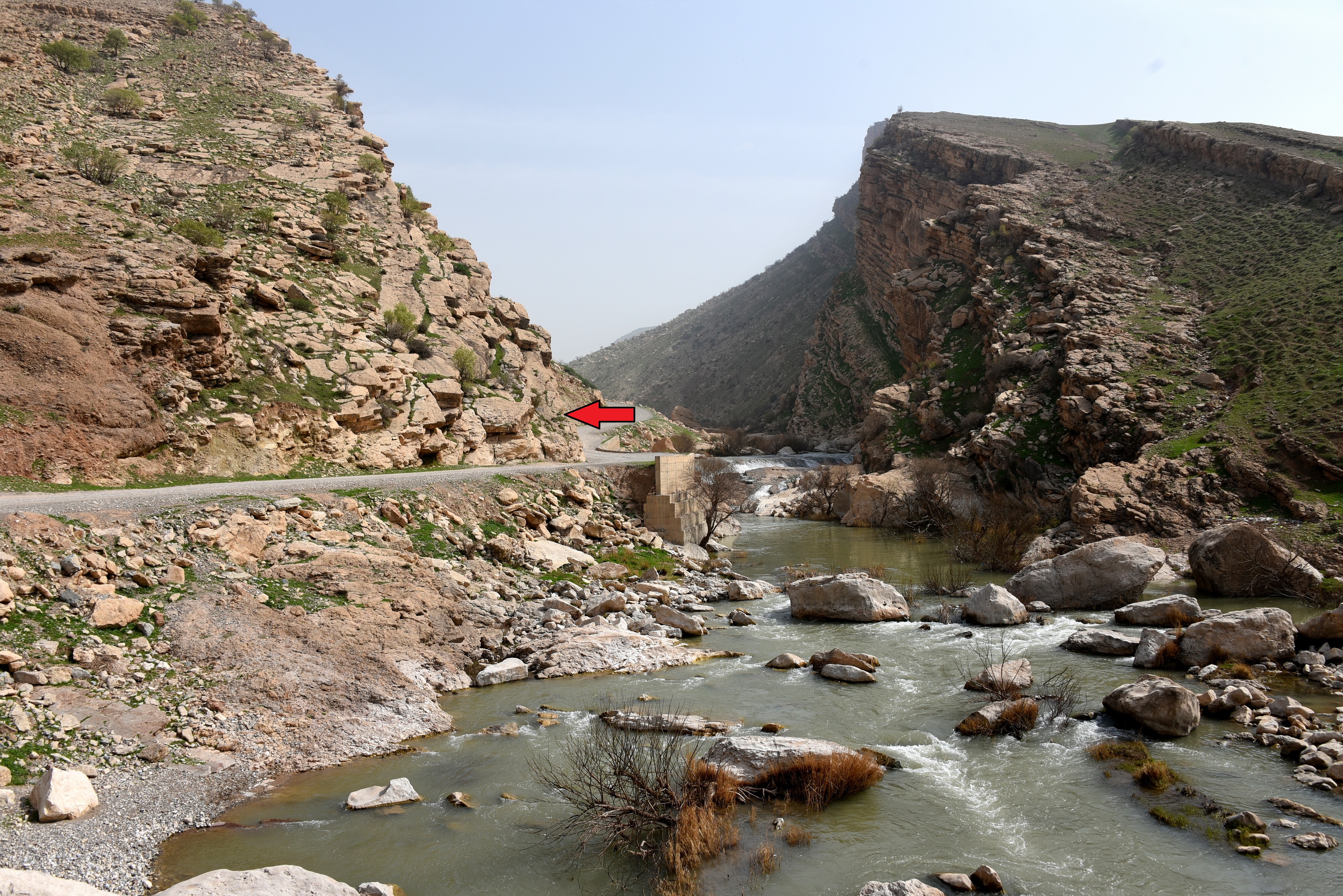
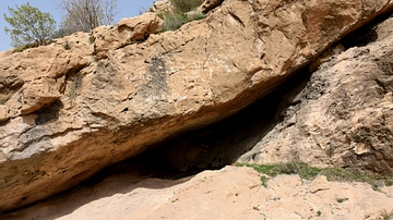
This is Darband-i Basara (or Basara Gorge). The gorge transects the anticlines of the upper part of Qaradagh Mountain Ridge. The paved road leads to Delezha Village. The image was shot from the western part of the outlet. The tip of the red arrow is where a rock relief lies. The rock relief is though to be Lulubian and dates to the late 3rd millennium to early 2nd millennium BCE. Sulaymaniyah, Kurdistan, Iraq.
About the Author

Related Images
The Lulubian Rock Relief of Darband-i Basara
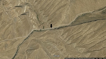
Darband-i Basara
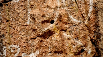
Darband-i Basara Rock Relief
Darband-i Basara Rock Relief
The Lulubian Rock Relief of Darband-i Basara
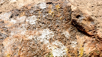
Darband-i Basara Rock Relief
Cite This Work
APA Style
Amin, O. S. M. (2018, June 01). Darband-i Basara and its Rock Relief. World History Encyclopedia. Retrieved from https://www.worldhistory.org/image/8838/darband-i-basara-and-its-rock-relief/
Chicago Style
Amin, Osama Shukir Muhammed. "Darband-i Basara and its Rock Relief." World History Encyclopedia. Last modified June 01, 2018. https://www.worldhistory.org/image/8838/darband-i-basara-and-its-rock-relief/.
MLA Style
Amin, Osama Shukir Muhammed. "Darband-i Basara and its Rock Relief." World History Encyclopedia. World History Encyclopedia, 01 Jun 2018. Web. 25 Apr 2024.