Illustration
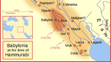
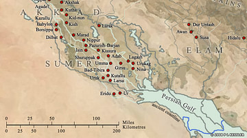
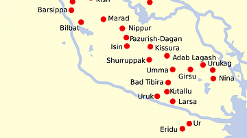
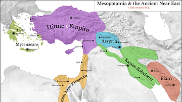
A map of the Babylonian Empire during the time of the Kassites, roughly the 13th century BC. This map shows the probable river courses and coastline at that time.
References
- File:Kassite Babylonia EN.svg - Wikipedia, the free encyclopediaAccessed 1 Dec 2016.
Cite This Work
APA Style
MapMaster, . (2012, April 26). Babylon at the time of the Kassites. World History Encyclopedia. Retrieved from https://www.worldhistory.org/image/75/babylon-at-the-time-of-the-kassites/
Chicago Style
MapMaster, . "Babylon at the time of the Kassites." World History Encyclopedia. Last modified April 26, 2012. https://www.worldhistory.org/image/75/babylon-at-the-time-of-the-kassites/.
MLA Style
MapMaster, . "Babylon at the time of the Kassites." World History Encyclopedia. World History Encyclopedia, 26 Apr 2012. Web. 23 Apr 2024.

