Illustration
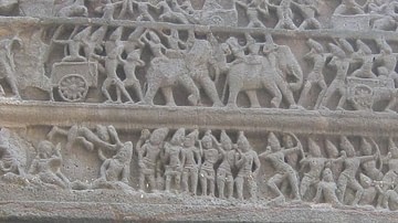
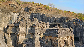
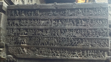
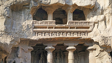
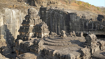
A map of the caves and temples at Ellora, in Maharastra, central India. The structures are Hindu, Buddhist, and Jain. 6th-8th century CE.
Cite This Work
APA Style
Pavils, G. (2016, March 08). Ellora Caves Map. World History Encyclopedia. Retrieved from https://www.worldhistory.org/image/4607/ellora-caves-map/
Chicago Style
Pavils, Gatis. "Ellora Caves Map." World History Encyclopedia. Last modified March 08, 2016. https://www.worldhistory.org/image/4607/ellora-caves-map/.
MLA Style
Pavils, Gatis. "Ellora Caves Map." World History Encyclopedia. World History Encyclopedia, 08 Mar 2016. Web. 16 Apr 2024.


