
Illustration

Mahajanapadas (Sanskrit: महाजनपद, Mahājanapadas), literally "great realms", (from maha, "great", and janapada "foothold of a tribe", "country") were ancient Indian kingdoms or countries. Ancient Buddhist texts like Anguttara Nikaya make frequent reference to sixteen great kingdoms and republics (Solas Mahajanapadas) which had evolved and flourished in a belt stretching from Gandhara in the northwest to Anga in the eastern part of the Indian subcontinent and included parts of the trans-Vindhyan region, prior to the rise of Buddhism in India.
Related Images
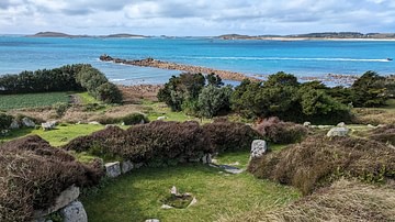
Halangy Down Village House
Robert Clive & The East India Company Rule in India, c. 1765
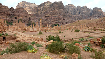
Petra Garden-Pool Complex
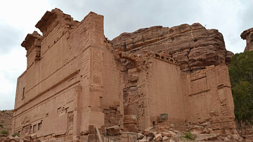
Qasr al-Bint, Petra
Upper Innisidgen Burial Chamber
Elephant Capital from Petra
Cite This Work
APA Style
Kmusser, . (2012, April 26). Map of India, 600 BCE. World History Encyclopedia. Retrieved from https://www.worldhistory.org/image/321/map-of-india-600-bce/
Chicago Style
Kmusser, . "Map of India, 600 BCE." World History Encyclopedia. Last modified April 26, 2012. https://www.worldhistory.org/image/321/map-of-india-600-bce/.
MLA Style
Kmusser, . "Map of India, 600 BCE." World History Encyclopedia. World History Encyclopedia, 26 Apr 2012. Web. 19 Apr 2024.