
Illustration

Map showing the area of the Elamite Empire (in red) and the neighboring areas. The approximate Bronze Age extension of the Persian Gulf is shown.
License & Copyright
 Based on Wikipedia content that has been reviewed, edited, and republished.
Original image by Dbachmann. Uploaded by Jan van der Crabben, published on 26 April 2012. The copyright holder has published this content under the following license: GNU Free Documentation License. Permission is granted to copy, distribute and/or modify this document under the terms of the GNU Free Documentation License, Version 1.2 or any later version published by the Free Software Foundation; with no Invariant Sections, no Front-Cover Texts, and no Back-Cover Texts. Please note that content linked from this page may have different licensing terms.
Based on Wikipedia content that has been reviewed, edited, and republished.
Original image by Dbachmann. Uploaded by Jan van der Crabben, published on 26 April 2012. The copyright holder has published this content under the following license: GNU Free Documentation License. Permission is granted to copy, distribute and/or modify this document under the terms of the GNU Free Documentation License, Version 1.2 or any later version published by the Free Software Foundation; with no Invariant Sections, no Front-Cover Texts, and no Back-Cover Texts. Please note that content linked from this page may have different licensing terms.
Related Images
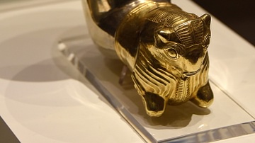
Achaemenid Silver and Gold Horn Cup
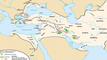
Achaemenid Empire Map
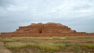
Chogha Zanbil Ziggurat, Iran
![Chogha Zanbil Ziggurat [East Side], Iran](https://www.worldhistory.org/img/c/p/360x202/10670.jpg?v=1702536009)
Chogha Zanbil Ziggurat [East Side], Iran
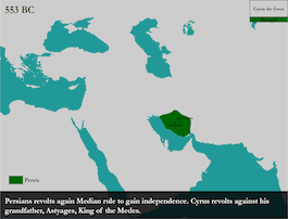
Map of the Achaemenid Persian Empire - Animation
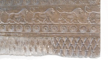
Striding Lions, Persepolis
Cite This Work
APA Style
Dbachmann, . (2012, April 26). Elam Map. World History Encyclopedia. Retrieved from https://www.worldhistory.org/image/142/elam-map/
Chicago Style
Dbachmann, . "Elam Map." World History Encyclopedia. Last modified April 26, 2012. https://www.worldhistory.org/image/142/elam-map/.
MLA Style
Dbachmann, . "Elam Map." World History Encyclopedia. World History Encyclopedia, 26 Apr 2012. Web. 19 Apr 2024.