
Illustration

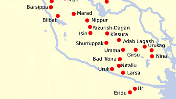
The area which formed Sumer started at the Persian Gulf and reached north to the 'neck' of Mesopotamia where the two rivers, the Tigris and the Euphrates meander much closer to each other. To the east loomed the Zagros Mountains, where scattered city states thrived on trade and learning from Sumer, and to the west was the vast expanse of the Arabian desert.
The rivers have changed course considerably in the last four thousand years, moving well away from some of the cities and causing the complex network of canals to dry up, but at the time, the two rivers had separate entrances into the foreshortened Gulf.
Some of the earliest cities, such as Sippar, Borsippa and Kish in the north, and Ur, Uruk and Eridu in the south formed the endpoints of what became that complex network of cities and canals. Girsu and Nippur were highly important religious centres, but other cities, such as Larsa, Eshnunna, Babylon and Isin didn't really emerge as such until after the end of Sumerian civilisation in circa 2000 BC.
Related Images
Map of Sumer and Elam
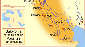
Babylon at the time of the Kassites
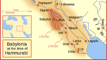
Babylon at the time of Hammurabi
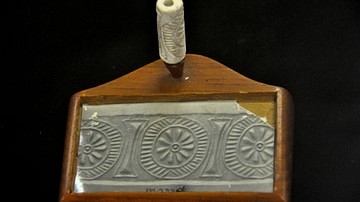
Cylinder Seal from Kish
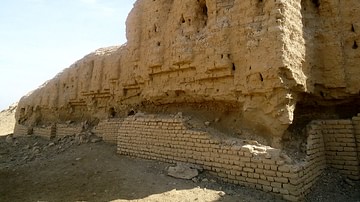
The Ziggurat at Kish
Destruction of Susa
Cite This Work
APA Style
Kessler, P. L. (2013, July 11). Map of Sumer. World History Encyclopedia. Retrieved from https://www.worldhistory.org/image/1352/map-of-sumer/
Chicago Style
Kessler, P L. "Map of Sumer." World History Encyclopedia. Last modified July 11, 2013. https://www.worldhistory.org/image/1352/map-of-sumer/.
MLA Style
Kessler, P L. "Map of Sumer." World History Encyclopedia. World History Encyclopedia, 11 Jul 2013. Web. 16 Apr 2024.